Platforms of Opportunity


Scaling Observations: Leveraging Commercial Platforms for Atmospheric Research
Limited observational data on gases and aerosols in the atmosphere pose a significant challenge to understanding and projecting the Earth system and in responding to Earth system changes. Accurate and comprehensive data is essential for deciphering the intricate interactions that influence the atmosphere, informing Earth system models to help predicting future changes. SilverLining’s Platforms of Opportunity Program aims to bridge large, critical gaps in Earth system-relevant atmospheric observations that cannot be addressed by satellites alone by leveraging commercial and other existing ships and aircraft to carry instruments for atmospheric observations.
Ships of Opportunity for Atmospheric Research (SOAR)

The scarcity of observational data on gases and aerosols in the marine atmosphere pose a significant challenge in modeling and evaluating their influences on the Earth system and predicting future Earth system changes. In 2022, SilverLining established a collaborative network of atmospheric science, engineering, operations experts and other university, intergovernmental, and US science agency leaders to analyze scientific requirements, instrument capabilities, and possibilities for piloting and developing a global network of ship-based observations of gases and aerosols in the marine atmosphere. The goal of SOAR is to build on research systems and existing atmospheric observation data networks to expand coverage, particularly of remote and sensitive regions.
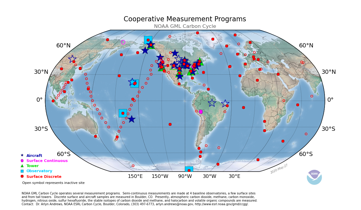
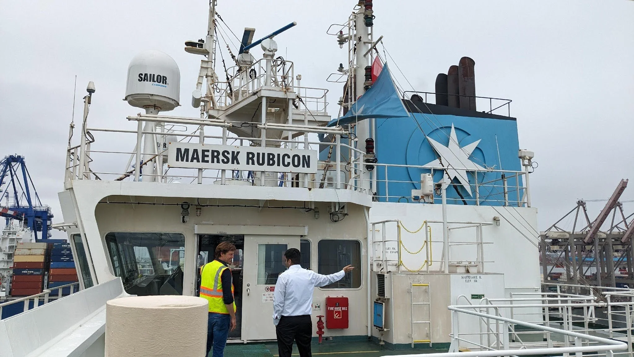
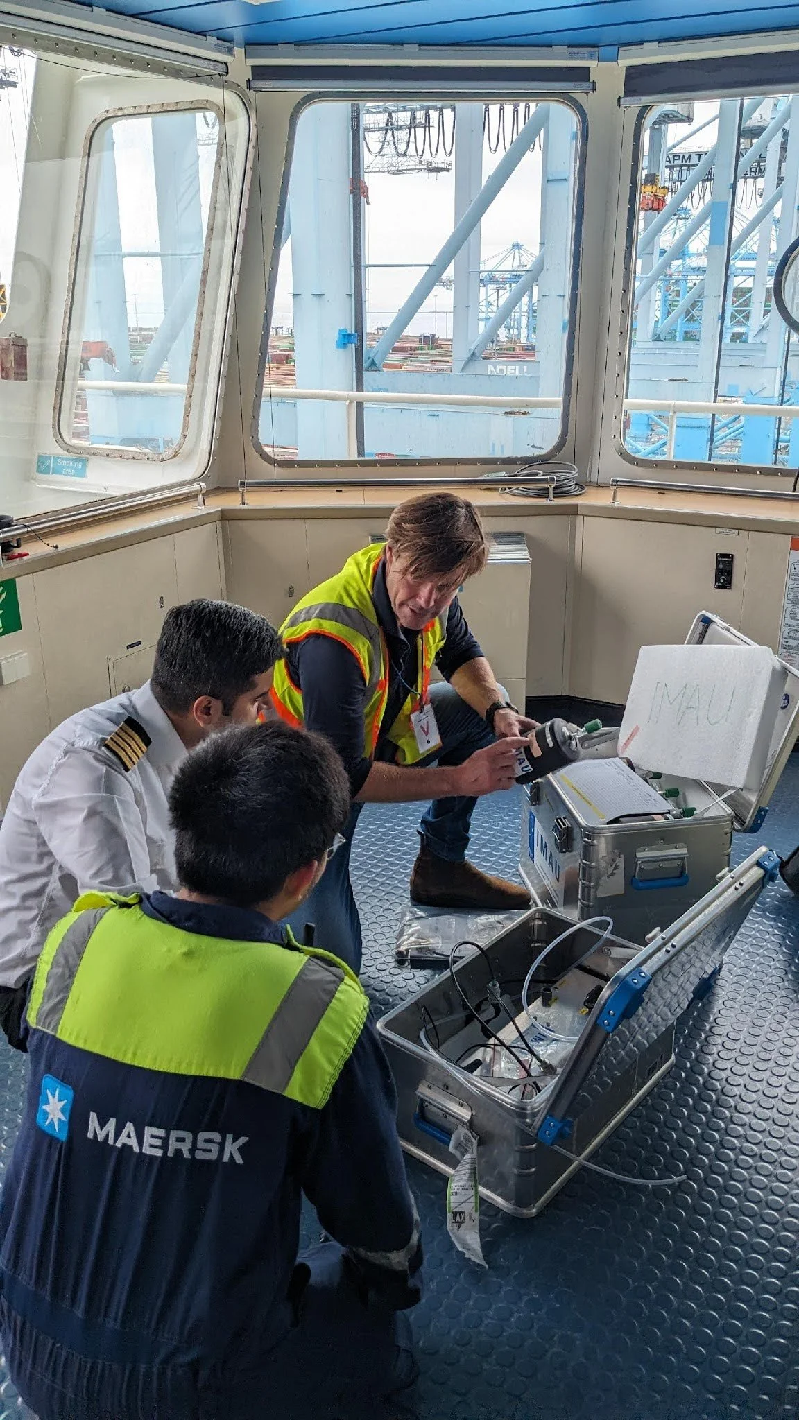
In collaboration with National Oceanic and Atmospheric Administration (NOAA) Global Monitoring Laboratory, Accenture, and the Dutch maritime nonprofit OceansX, SilverLining supported a pilot of gas and aerosol radiative measurement instruments on vessels operated by global shipping company Maersk. The objective is to leverage learning from these pilots to design a global ship-borne observing network and to develop instrument packages that have the advanced features of today’s bespoke research instruments as well as the operational features and cost profile required for scale.
Early pilots provide operational insight & valuable science data:

The Maersk San Marco's observations are crucial for understanding aerosol impacts on the Earth system, particularly over the equatorial ocean, a region that is not well observed but where aerosol interactions significantly affect dynamics. This data helps validate satellite measurements and improves aerosol transport models, which are essential for assessing Earth's energy balance.
The Maersk Rubicon is taking reference measurements of GHGs in the tropical Pacific, the least-observed region in the world for in situ gas concentrations. This data will be made available to scientific researchers worldwide via NOAA’s Global Monitoring Lab.
The Smyril Mykines is capturing critical data from the Sundhnúkur volcanic plume, a natural experiment to better understand the impacts of aerosols on the Earth system, a phenomenon currently not well understood. Open access to this data via NASA’s Maritime Aerosol Network can ensure accurate global Earth system modeling and helps track the effects of aerosols on Earth system changes.
Aircraft of Opportunity

In collaboration with the National Oceanic and Atmospheric Administration (NOAA), the Airplanes of Opportunity initiative supports the pilot and development of a network of atmospheric observing instruments on commercial aircraft to address critical data gaps in gases and other atmospheric measurements. With routes arcing from the surface to the upper atmosphere and back, aircraft platforms approach could transform observations of gas source emissions from the surface of the Earth, including feedbacks from natural systems, urban, industrial and other sources.
In 2021 NOAA led an engineering effort and regulatory approval process to install a package of sophisticated greenhouse gas and atmosphere observing instruments on a commercial aircraft, culminating in a pilot flight on the Alaska Airlines Boeing Ecodemonstrator. In 2024, NOAA and United airlines announced a partnership to deploy the first instrument on a Boeing 737 as a step toward an expanded network of observations on United planes. NOAA, SilverLining and other partners and collaborators are developing a roadmap of requirements and plans for the development of instrument packages, operational models and carrier partnerships to develop a scaled network of observations.
Our Collaborators
A growing network of institutions and collaborators are advancing SOAR. Our collaborator ecosystem includes the scientific user community, which collaboratively drives the definition and development of the data, instruments, network design and products. The private commercial sector provides Platforms of Opportunity operationalization, logistics and compliance, to turn science priorities into operational capabilities. Partnerships with public sector agencies provide critical instrument development capabilities, data streams and ultimately, users of the information SOAR generates.
Collaborators: Oceans X, National Oceanic and Atmospheric Administration’s Global Monitoring Lab, National Aeronautics and Space Administration’s AERONET, University of Washington, Brookhaven National Laboratory, Accenture, MAERSK, and Smyril Line.
Media
-
![]()
NOAA and United Airlines partner to measure gases, pollutants with high-tech flight instruments
Press Release, July 2024
-
![]()
NOAA: Global Greenhouse Gas Reference Network
Website